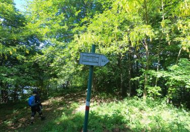
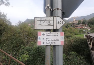
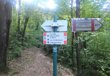
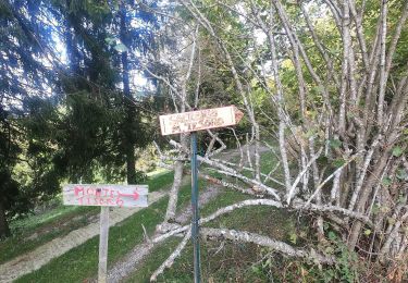
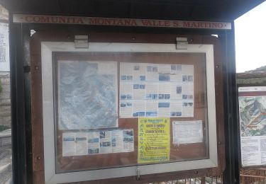
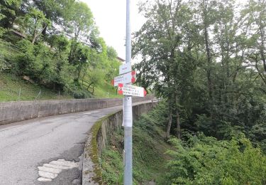
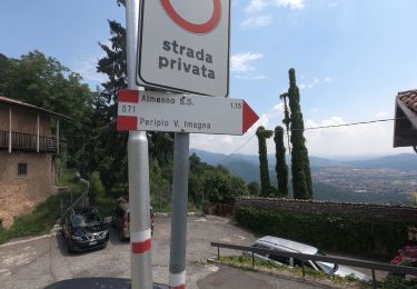
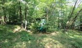
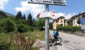
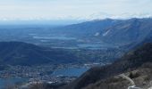
Trail On foot Sant'Omobono Terme - Sentiero 573: Ca' Mazzoleni - Costa Imagna - Forcella Alta - Photo

Sentiero 573: Ca' Mazzoleni - Costa Imagna - Forcella Alta

Tous les sentiers balisés d’Europe GUIDE+

© OpenStreetMap contributors
Length
Length
5.8 km
Max alt
Max alt
1303 m
Uphill gradient
Uphill gradient
889 m
Km-Effort
Km-Effort  
14.7 km
Min alt
Min alt
410 m
Downhill gradient
Downhill gradient
3 m
Boucle
Boucle
No
Signpost
Signpost
Creation date :
2022-02-15 18:18:20.453
Updated on :
2022-03-01 22:53:12.888

(0 Reviews)

On foot
On foot
3h20
Difficulty : Easy

Scan this QR Code to open this trail in the SityTrail application

FREE GPS app for hiking

Logo SityTrail SityTrail
IGN / Geographical institutes

Download SityTrail from the App Store Download SityTrail from Google Play

Logo SityTrail SityTrail World
The world is yours!

Download SityTrail from the App Store Download SityTrail from Google Play Download SityTrail on Huawei AppGallery

About

Trail On foot of 5.8 km to be discovered at Lombardy, Bergamo, Sant'Omobono Terme. This trail is proposed by SityTrail - itinéraires balisés pédestres.

Description

Si parcheggia nelle vicinanze della grossa villa di Ca' Mazzoleni (624 m) e si prende a destra la mulattiera che fiancheggia l'abitato e, con numerosi tornanti a selciato, si giunge in località Rale di Costa Valle Imagna. Per strada asfaltata si giunge alla chiesa e all'abitato (centro) di Costa (1020 m). Alla chiesa si prende il sentiero che attraversa la strada provinciale e

Website: http://geoportale.caibergamo.it/it/sentiero/573

Elevation profile

Photos

Positioning

Country:
Italy
Region :
Lombardy
Department/Province :
Bergamo
Municipality :
Sant'Omobono Terme
Location:
Unknown
Start:(UTM)
541158 ; 5073659 (32T) N.

Trails nearby

Trail On foot Costa Valle Imagna - Sentiero 801C: Ripetitori (Valcava) - Convento del Pertus - Photo
On foot
GUIDE+

On foot

Easy
Costa Valle Imagna, Lombardy, Bergamo, Italy
4.8 km | 7.7 km-effort
1h 44min
No
Trail On foot Torre de' Busi - Sentiero 822: Torre de Busi - Sopracornola - Photo
On foot
GUIDE+

On foot

Easy
Torre de' Busi, Lombardy, Bergamo, Italy
3.4 km | 7.1 km-effort
1h 36min
No
Trail On foot Caprino Bergamasco - Sentiero 808: Località Foppa - Coldara - Photo
On foot
GUIDE+

On foot

Easy
Caprino Bergamasco, Lombardy, Bergamo, Italy
5.4 km | 10 km-effort
2h 16min
No
Trail On foot Carenno - Sentiero 819: Carenno - Torre de' Busi - Photo
On foot
GUIDE+

On foot

Easy
Carenno, Lombardy, Lecco, Italy
4.5 km | 7.7 km-effort
1h 45min
No
Trail On foot Torre de' Busi - Sentiero 823: Torre de' Busi - Colle di Sogno - Valcava - Photo
On foot
GUIDE+

On foot

Easy
Torre de' Busi, Lombardy, Bergamo, Italy
5.6 km | 13.9 km-effort
3h 9min
No
Trail On foot Torre de' Busi - Sentiero 821: Torre de' Busi - Valcava - Photo
On foot
GUIDE+

On foot

Easy
Torre de' Busi, Lombardy, Bergamo, Italy
3.6 km | 11.4 km-effort
2h 35min
No
Trail On foot Costa Valle Imagna - Sentiero 801B: Torre de' Busi - Ripetitori (Valcava) - Photo
On foot
GUIDE+

On foot

Easy
Costa Valle Imagna, Lombardy, Bergamo, Italy
7 km | 10.5 km-effort
2h 22min
No
Trail On foot Berbenno - Antiche Tracce - Photo
On foot
GUIDE+

On foot

Medium
Berbenno, Lombardy, Bergamo, Italy
18 km | 29 km-effort
6h 41min
No
Trail On foot Roncola - Sentiero dell'Acqua - Photo
On foot
GUIDE+

On foot

Easy
Roncola, Lombardy, Bergamo, Italy
4.1 km | 7.2 km-effort
1h 38min
No


Close
My subscriptions